FCWSA’s map shows a Calverton service district, which makes people assume there’s a water main. There isn’t. The Authority’s 2025 water report covers all sixteen of its systems, and Calverton isn’t one of them. The public project the County approved here in 2017 was sewer, not water. So whether you’re in the historic core on Bristersburg Road or out on Bastable Mill Road, the water comes from a well on your own property.
What sets Calverton apart is how tight the village is. The County’s plan counts 69 historic buildings in the district, more than half of them from 1920 to 1960, and near Route 28 and Bristersburg Road the houses run about three to an acre. On lots that close, the well head, the house and its drain line are near neighbors. Virginia’s well rules let a cast iron or Schedule 40 PVC sewer line sit 10 feet from a cased and grouted well, and any other pipe 50 feet. When a pump comes out of a village well, we look at what’s around the casing, too.
Mind the numbers table below. Calverton’s own ZIP, 20138, is post office boxes, and the Census place holds only a handful of owner homes, so the figures are Catlett’s ZIP 20119, where nearly nine in ten of the place’s houses sit. They describe the farms and newer lots in the country around the village better than the 1920s houses on Bristersburg Road.
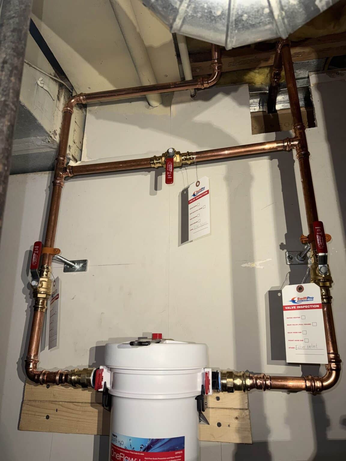
The water itself has a pattern. In Virginia Cooperative Extension’s Fauquier testing clinics from 2012 to 2017, 46 percent of samples came back with a pH under 6.5, on the acidic side, and more than half the households already had some treatment, most often a sediment filter. That matters for the pump call: a filter that’s packed with sediment can choke the pressure the same way a tired pump does. We check what’s on the line between the tank and the faucets before we blame anything down the well.